Ortho-rectified image of Pineto beach, highlighting the presence of rip currents near the shoreline
RVMC applications in the field of geomorphological risk
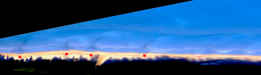
By continuously photographing (from above) a beach section, as the video monitoring stations do, it is possible to easily identify and monitor morphologies related to the presence of rip currents. The use of digital image processing techniques allows continuous observation of beach morphology.
The RVMC system is also set up to continuously monitor (hourly) meteo-marine conditions along the video monitoring sites, allowing morphological changes to be linked to the acting meteo-marine forcing factors.
For these reasons, one of the key indicators analysed is wave obliquity, i.e. the angle at which waves strike relative to the normal to the coastline.
If the wave arrives at an angle within ±10° from the normal (so-called low obliquity), the energy is oriented predominantly in the cross-shore direction: this is referred to as cross-shore movement in the land-sea direction.
If instead the angle is greater than ±10° (so-called high obliquity), the component parallel to the coast prevails, with longshore drift (longshore drift).
Why is this important for bathing safety?
Low obliquity (< ±10°) → cross-shore motion generally prevails, which can favour the formation of rip currents;
High obliquity (> ±10°) → longshore drift generally prevails, which is not typically associated with the development of rip currents.
The two cases mentioned above represent two extreme phenomena that do not exclude intermediate "site-specific" cases, such as the occurrence of oblique rip currents.
The RVMC analysis workflow
Data collection: daily acquisition of the sea state forecast for the following 24 hours (wave direction and height calculated hourly by the CMEMS forecast model);
Obliquity calculation: for each monitored point, wave obliquity is calculated (as the angular difference between wave direction and the coastal normal);
Classification: conditions in which obliquity is low or high are identified;
Persistence estimation: calculation of consecutive hours in which wave obliquity is simultaneously low and wave height is greater than a given threshold (0.6 m);
Thematic maps: visualisation of this information on dedicated maps in the RVMC portal;
Automated extraction from RVMC images of the occurrence of morphologies indicating the presence of rip currents;
Validation via a "monitoring form", designed to allow sector experts to validate the presence of rip currents from interpretation of video monitoring images or from direct observation of RVMC sites.